The Road Less Traveled
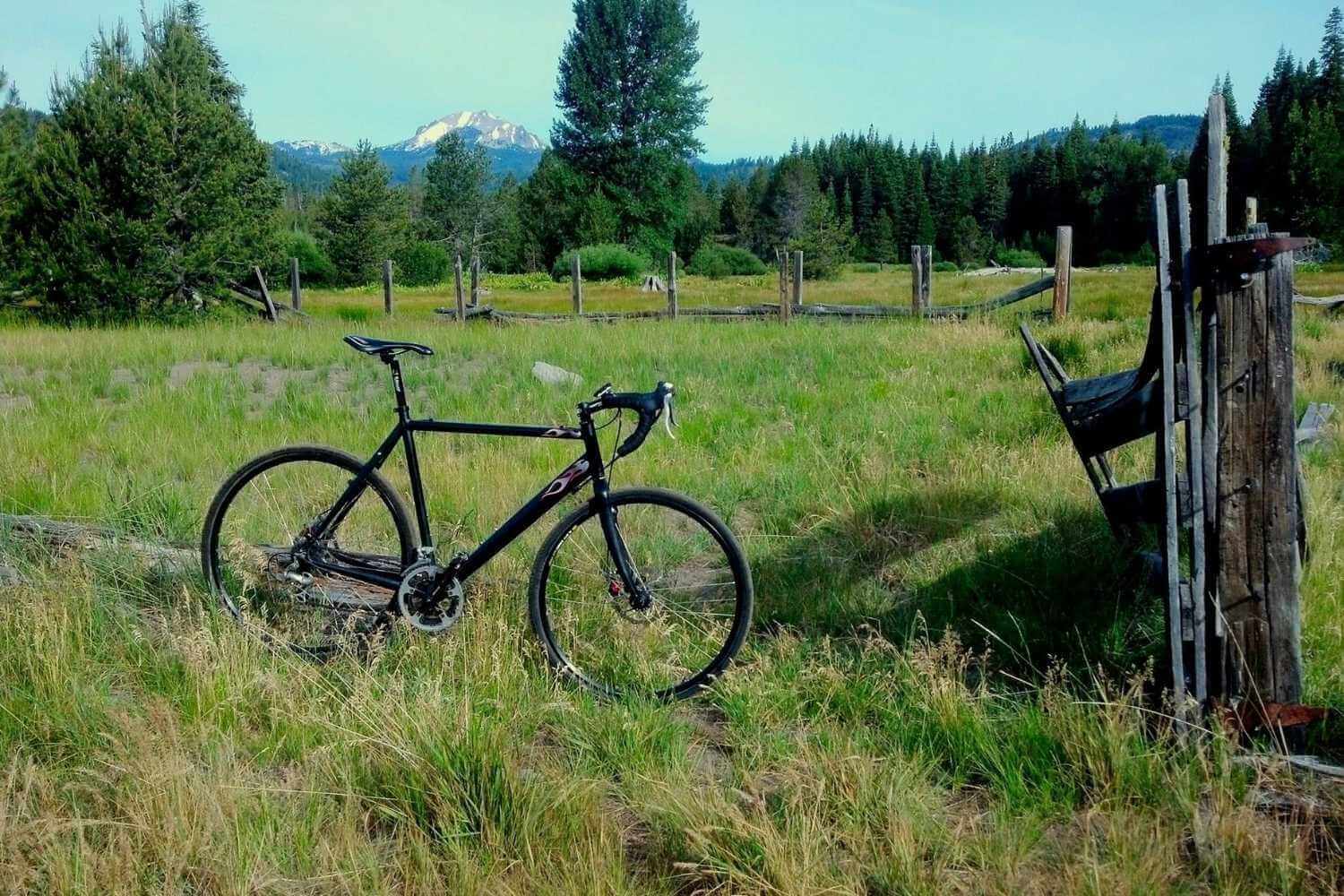
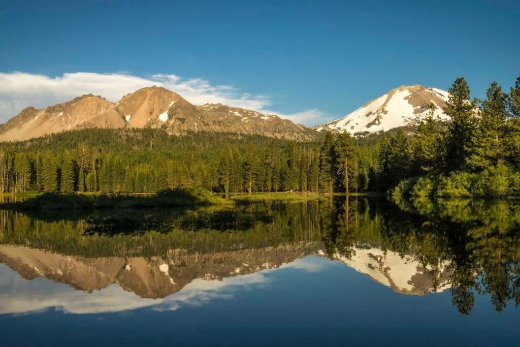
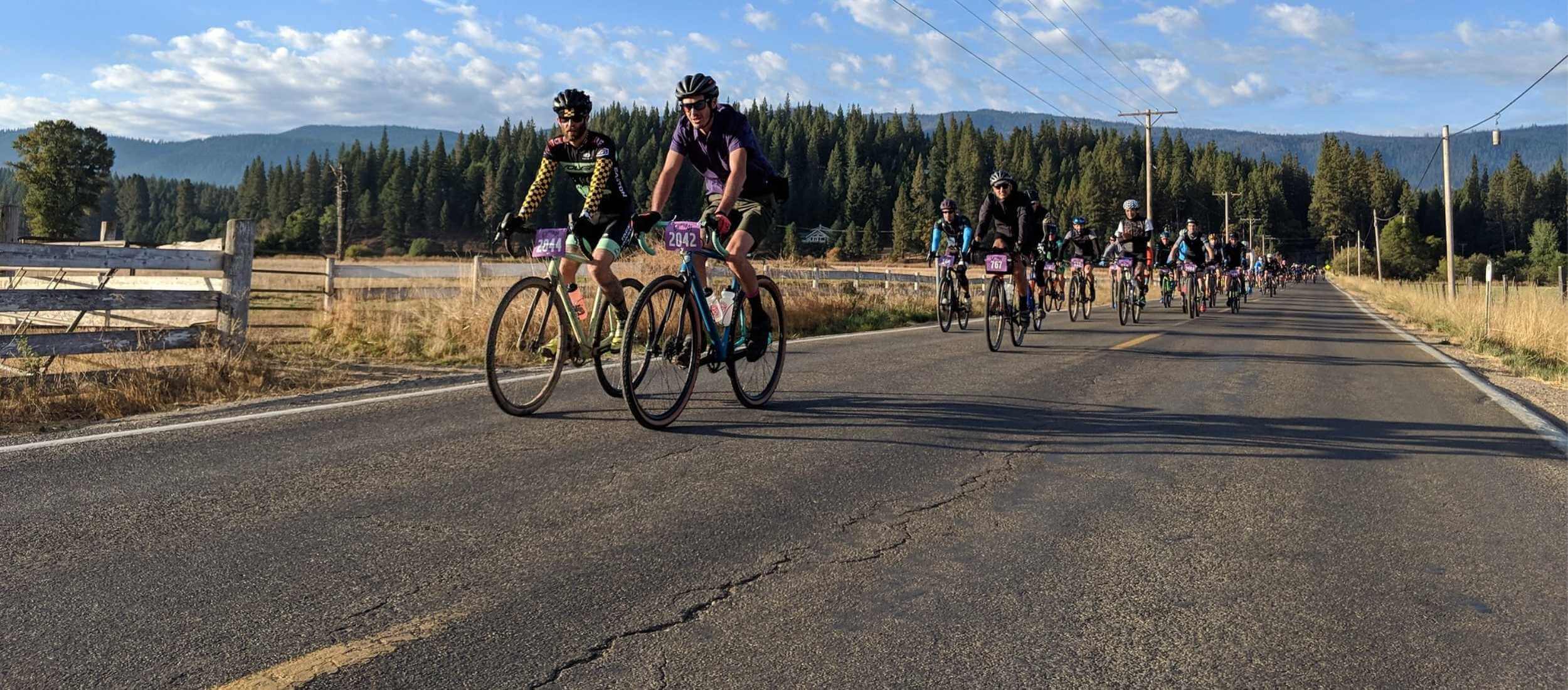
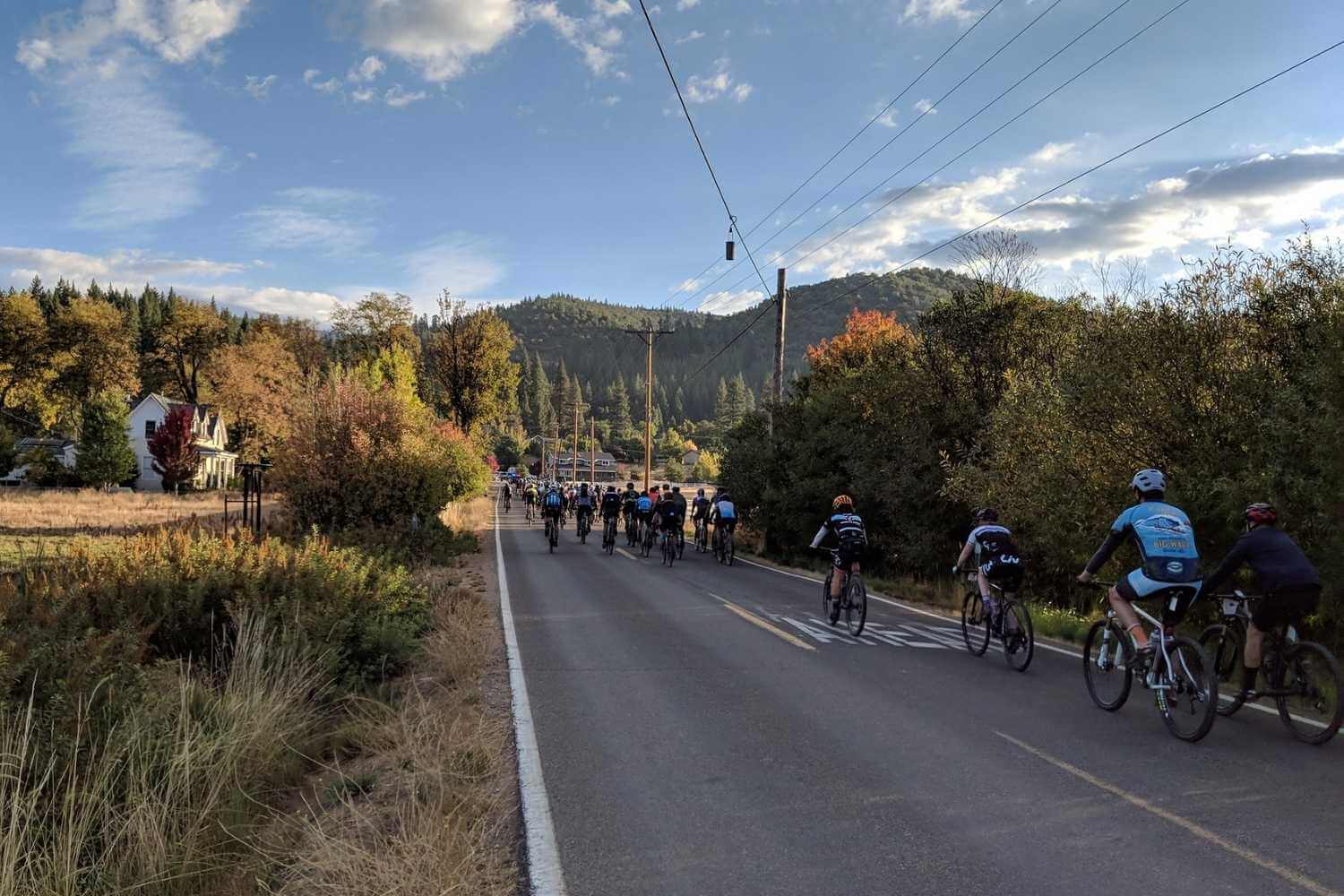
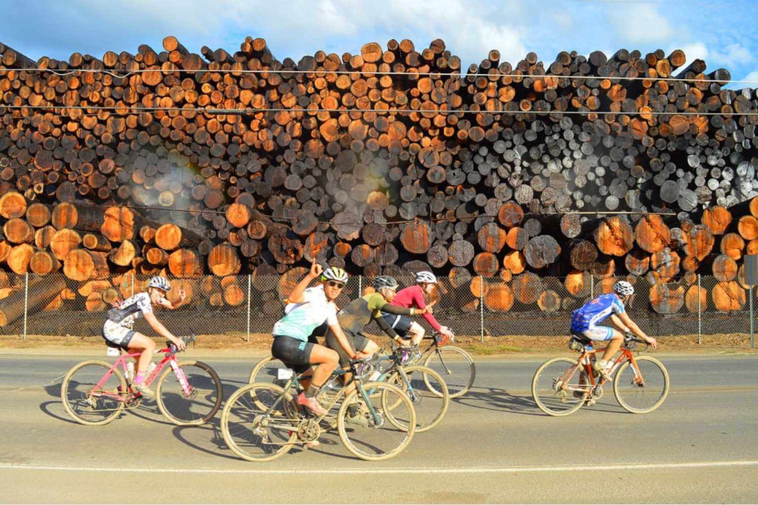
Some of the best cycling in Northern California is found in Plumas County. With miles of idyllic country roads and forested backroads, Plumas County offers unparalleled cycling opportunities. Explore the road less traveled with mellow rides through mountain valleys, or test your endurance with ridgeline climbs to high lakes. Unlike other parts of California, Plumas County has relatively low traffic, especially mid-week, which gives the cyclist plenty of room to take in the scenic splendor of the Lost Sierra. Watch out for cows, tractors, and the occasional logging truck!
Places to Road Bike in Plumas County
Every community in Plumas County has a ride for every level of cyclist. From scenic valley tours to serious climbs, choose a ride that sounds fun to you. Plumas County will become a favorite place for cycling in Northern California.
Northwest Plumas
- The Lake Almanor Recreation Trail: This wonderful, wooded, lake-side trail is perfect for the whole family. Paved, well-maintained, and relatively flat, this trail is nearly 10 miles one-way and makes for a fun morning or evening ride. Explore the Lake Almanor Recreation Trail.
- Last Chance Loop: This is mostly a flat loop around the upper part of Lake Almanor and the lower part of Last Chance Creek. The route includes 3 miles of pavement and about 12 miles of gravel road. The Coffee Station or Bodfish Bicycle in Chester both make for good starting points.
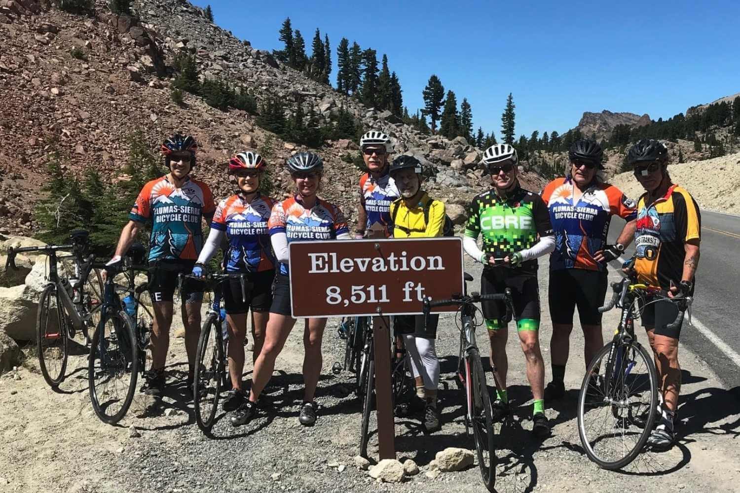
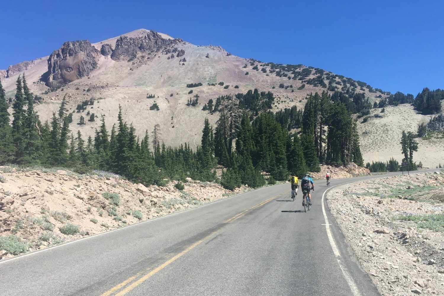
- Lassen Volcanic National Park Highway: In Spring, before the park roads are cleared of all snow and open to vehicle traffic, the highway through Lassen National Park is a splendid road ride for those who like some elevation gain. To learn more about timing and mileage, visit the Lassen Volcanic National Park “Hike and Bike the Highway” page.
- The Bizz Johnson Trail: While not technically in Plumas County, this Lassen County trail is worth the mention. The Bizz Johnson National Recreation Non-Motorized Trail follows an old line of the Southern Pacific railroad. The mostly gravel and dirt trail winds 25 miles from Susanville along the Susan River up into the forest to Mason Station. The grade is moderate, but never too steep, with beautiful views, great fall color (or spring flowers), and interesting rock formations. If you like bikes, history, and trains, this is a great ride. It can even be done as a bikepacking trip as there are campgrounds along the trail.
South Central Plumas
- The America Valley “Chandler loop”: This is a local favorite ride along a not-too-busy stretch of highway and a scenic, country road in Quincy. The loop has big views of American Valley with old barns and active ranches, plus mountain vistas everywhere you look. The Chandler Loop can be ridden in both directions starting in downtown Quincy and heading east or west on highway 70/89. The next turn is Chandler Road which winds itself back to the highway–making it a loop. There is a cut-off option on Quincy Junction Road (heads back to downtown) for a shorter loop. The full loop is approximately 15 miles.
- Bucks Lake Road (Big Creek Road): For the intrepid cyclist who likes to climb, Bucks Lake Road from downtown Quincy to Big Creek Road to Haskins Bay on Bucks Lake is a beautiful ride from early summer through late fall. Expect quiet roadways during the week with dogwood flowers in late spring and gorgeous fall colors in late September and October. The ride from Quincy to Haskins Bay at Bucks Lake is just shy of 20 miles (one-way).
- La Porte Road to Nelson Creek Bridge: This challenging ride takes you into the woods up a winding backroad to the Middle Fork of the Feather River and beyond. After climbing out of the dramatic Middle Fork canyon, views keep on getting better and better until you reach Nelson Creek bridge with a historic bridge that makes for a good photo op and lunch spot. From downtown Quincy to Nelson Creek Bridge, the ride is about 15 miles one-way. There are some steep sections! If you are a “King of the Mountain” type cyclist, challenge yourself up to the town of La Porte!
Southeast Plumas
- Gold Lake Highway Loop: This is a challenging ride that takes you over three summits, past a number of mountain lakes with views of the spectacular Sierra Buttes. It’s approx. 44 miles with 4,400 of climbing if you start at the base of the Gold Lake Highway or about 52 miles if you start in Graeagle where there’s a store and food. Because the Gold Lake Highway is in need of repaving (use caution) the best route is counter clockwise to Gold Lake Summit (6500′) past the Sierra Buttes down to Bassetts and then over Yuba Pass (6701′) and Calpine Summit (5441′) to return via Highway 89. There may be traffic on the weekends along Highway 89 and the Gold Lake Highway. The complete loop is rideable typically from late May until snow closed Gold Lake Highway in November.
- Johnsville Hill Climb: Start in Graeagle for a challenging climb to the parking lot of the Historic Johnsville Ski. It’s a 1,200 foot climb in just under seven miles up A-14. Be sure to check out Plumas-Eureka State Park and the Mohawk Stamp Mill when the climb flattens out before rolling though Johnsville. For a couple of extra miles ride to the Upper Jamison Campground past the museum until the pavement ends for some awesome mountain views.
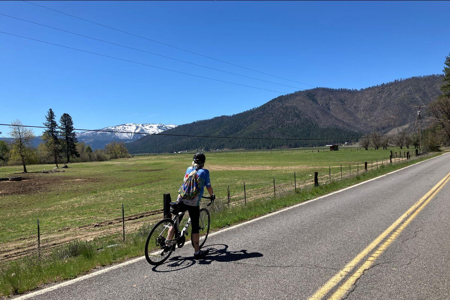
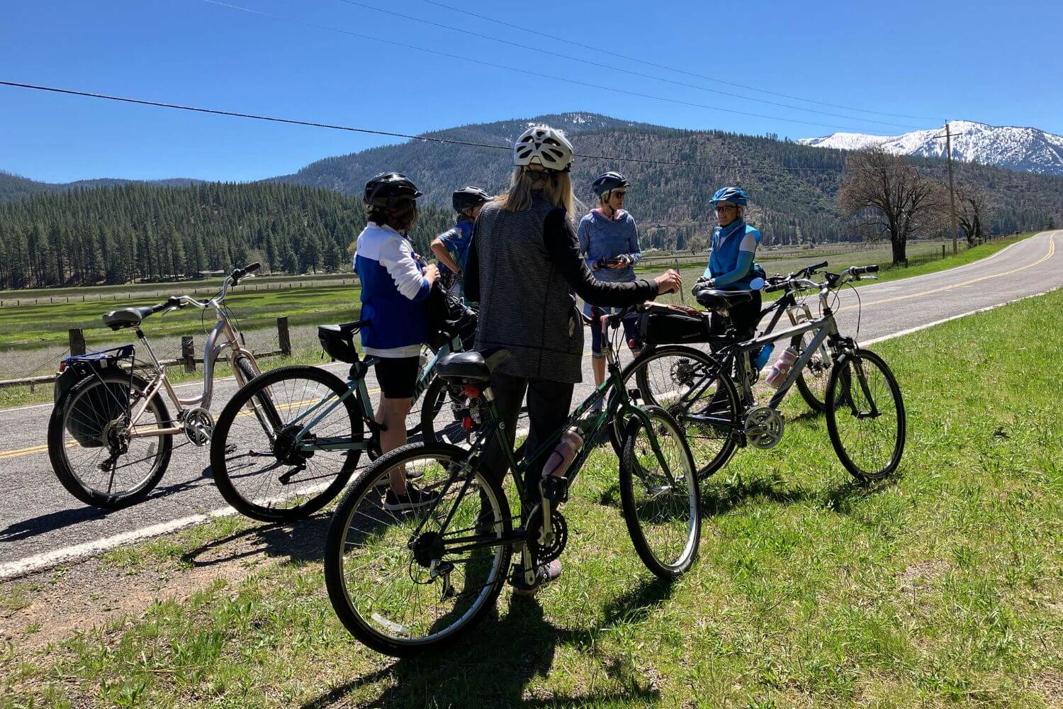
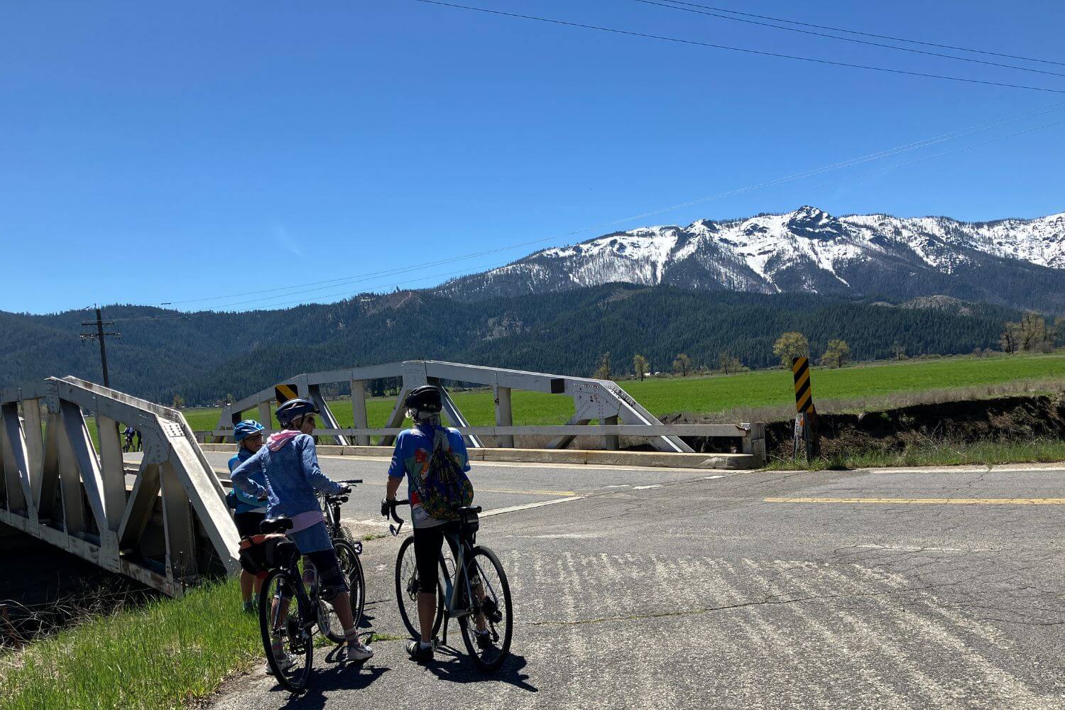
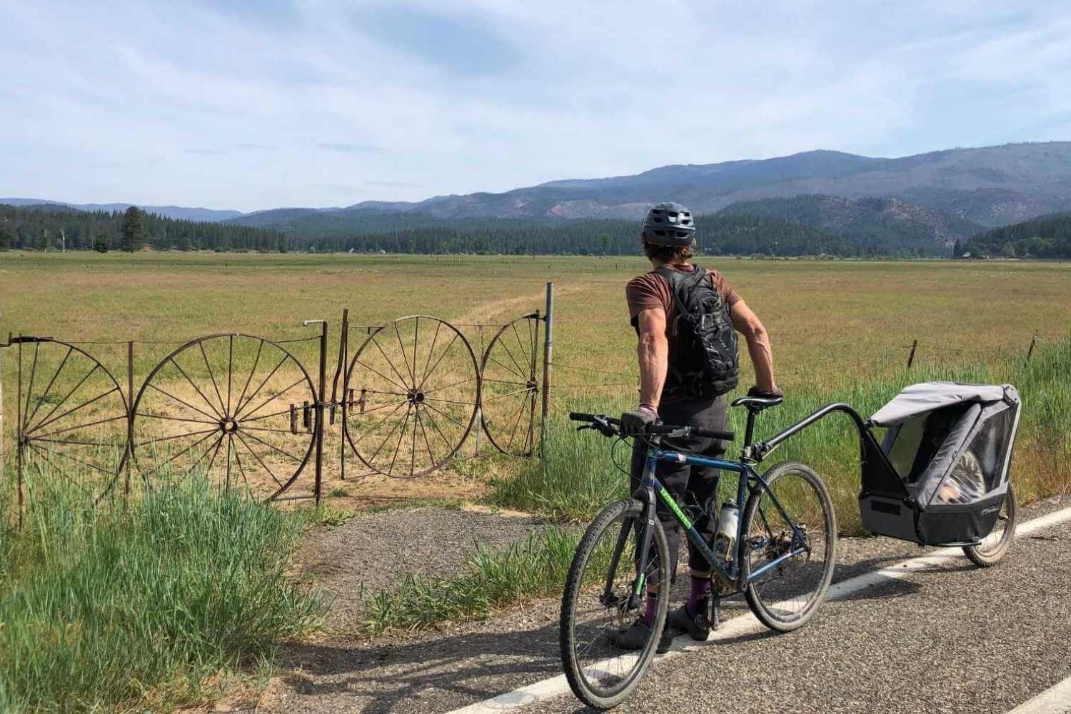
- Sierra Valley loops: Sierra Valley is a unique, large mountain valley at the edge of the Sierra Nevada and Great Basin that makes for some awesome cycling, just mind the wind. Using Highway 70, Highway 49, County Roads A23 and A24 cyclists can make two straight-forward rides. One loop is approximately 40 miles and cuts through the middle of the valley. The larger loop circumnavigates the entire valley and is closer to 55 miles. Look up Beckwourth, Sierraville, and Loyalton, CA in Google Maps to get a lay of the land. Best times to ride are in the morning or evening from April through November. It can be both very cold and very hot in this valley so be prepared and check the weather forecast. The Sierra Valley Preserve is a good parking place to start your ride.
- Sierra Valley to Frenchman Lake: From Vinton, CA on Highway 70, cyclists can climb up the Frenchman Lake Grade to the dramatic and interesting landscape of the Northern Eastern Sierra and Frenchman Lake. A gravel frontage road meanders around the lake. This ride is particularly beautiful in fall with golden aspens and yellow rabbitbrush. This ride is hot and dry in the summer.
- The Beckwourth-Genesee Road: This is an old route with a newer paved road that takes you from the high-desert like Sierra Valley up into the mountains and scenic meadows of Clover Valley and beyond. It’s a good idea to carry a Plumas National Forest quad map as these mountain roads are remote.
North Central Plumas
- Indian Valley Tours: Indian Valley is a picturesque and relatively flat mountain valley perfect for touring on your road bike. Spring is lush and green with snow-capped peaks and fall is particularly gorgeous with great fall color. The tiny town of Taylorsville makes for a wonderful starting off point from which you can make a loop around the valley over Indian Creek and along its forested edge on North Valley Road. Add a few extra miles with scenic North Arm Road. Crescent Mills is another good stop on a tour of Indian Valley and this stretch of highway 89 has good visibility and a decent shoulder for riders. You can ride just a few miles out and back or around the whole valley which is approximately 35 miles.
- Taylorsville to the Heart K Ranch (Genesee Valley): From downtown Taylorsville, cyclists can follow Indian Creek on the Genesee Road to one of the most scenic places in all of Plumas County– Genesee Valley. Heart K Ranch, a nonprofit owned property, makes for a wonderful destination with picnic tables and great views of Grizzly Ridge. One-way this ride is about 10 miles with some stretches of climbing and narrow, winding road with little shoulder.
- The Heart K Ranch to Antelope Lake: From the Heart K Ranch or the Genesee Store, cyclists who like to climb will be rewarded with some epic views on the way to Antelope Lake. This climb can be hot in summer so start early or ride during the late spring or fall.