Virtually every roadway in Plumas County offers beautiful scenery, which changes with the seasons. No matter what direction you come from, you’ll also be treated to some outstanding natural beauty on the drive up and back.
There are two routes through Plumas County that have been given official national scenic byway designation. These routes link cultural, historic, scenic and natural resources with communities and services found along the way. The byways have reflective signs along the route illustrated with colorful logos.
Volcanic Legacy Scenic Byway All American Road
by Betty Bishop
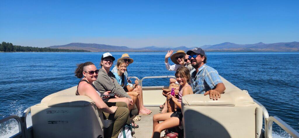
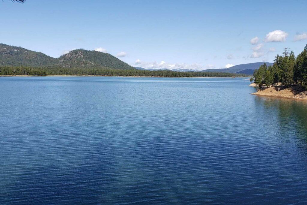
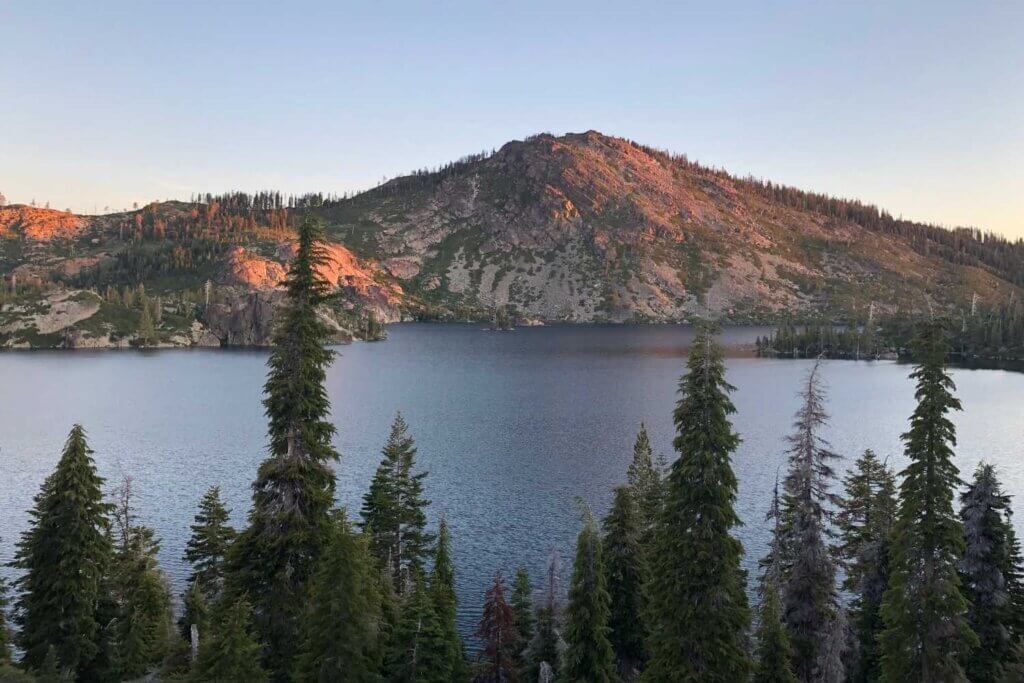
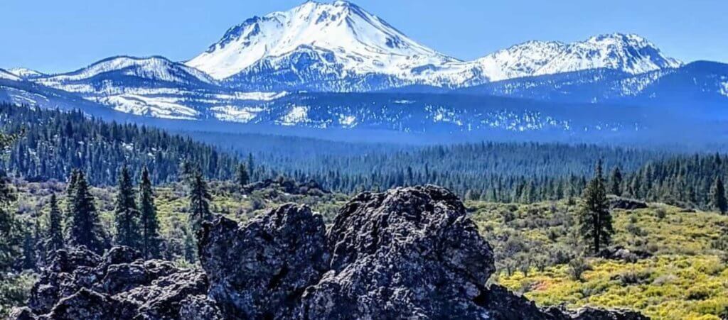
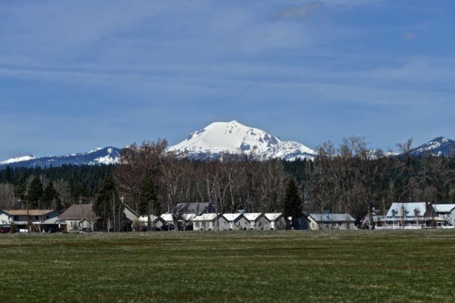
Chester-Lake Almanor is the southern terminus of this byway, considered one of the top 20 scenic drives in the nation. This 500-mile byway begins at the southern end of Lake Almanor, and proceeds north on both sides of the lake (via Hwys. 89 and 147) to Chester, located on Hwy. 36. It continues through Lassen Volcanic National Park and Hwy. 44, linking volcanoes, small towns and other attractions stretching to Crater Lake, Oregon. Travelers intending to drive the entire All American Road can begin or end their journey at Chester-Lake Almanor, which offers year-round amenities. Details on the entire route are available here. Drivers can take in just the loop around Lake Almanor, going in either direction, starting from Chester on the north end or from Canyon Dam on the south end. The views of Lake Almanor and Lassen Peak are the highlight of this trip, which takes in about 38 miles and a couple of hours with stops. There are many opportunities to stop for lunch, to shop, take a walk, and enjoy a swim or boat trip on the lake.
The Scenic Byway Link
by Ken Lund
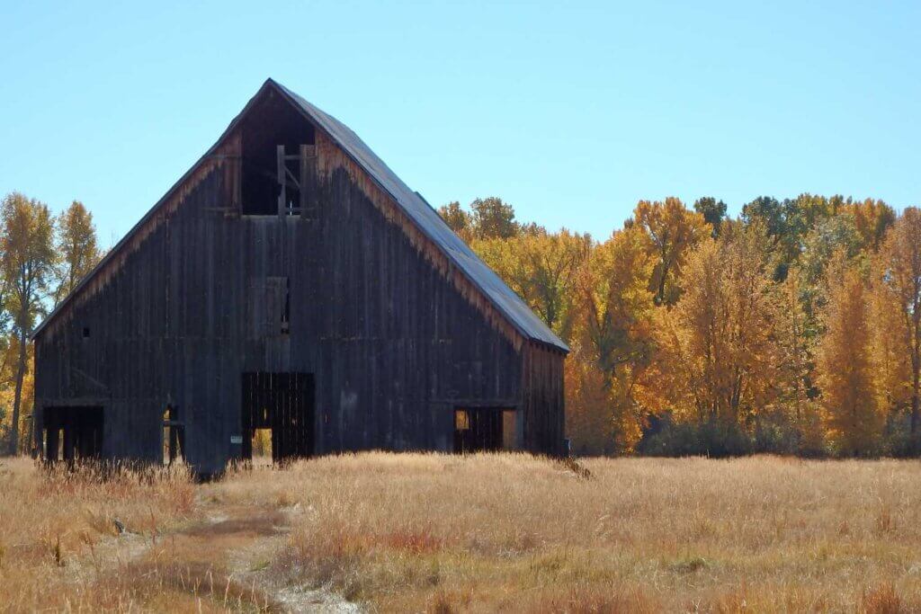
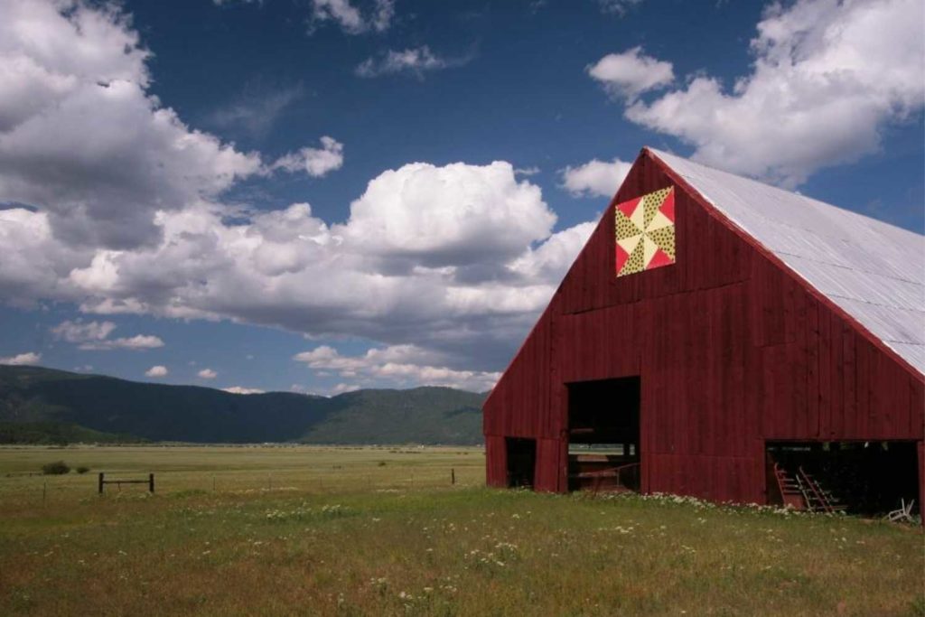
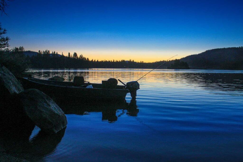
This equally scenic route joins Plumas County’s the two Scenic Byways, taking you through stunning pastoral mountain meadows of the Indian Valley. Follow Highway 89 through the towns of Canyon Dam, Greenville and Crescent Mills. At its southern end, it follows Indian Creek, and joins the Feather River Scenic Byway, Highway 70, at the confluence of Indian and Spanish Creeks in a spot known as the Greenville “Y” 10 miles northwest of Quincy. The route between the “Y” and Canyon Dam is roughly 18 miles and takes about a half hour, or longer with stops.
Feather River National Scenic Byway
 Reflections on the Feather River
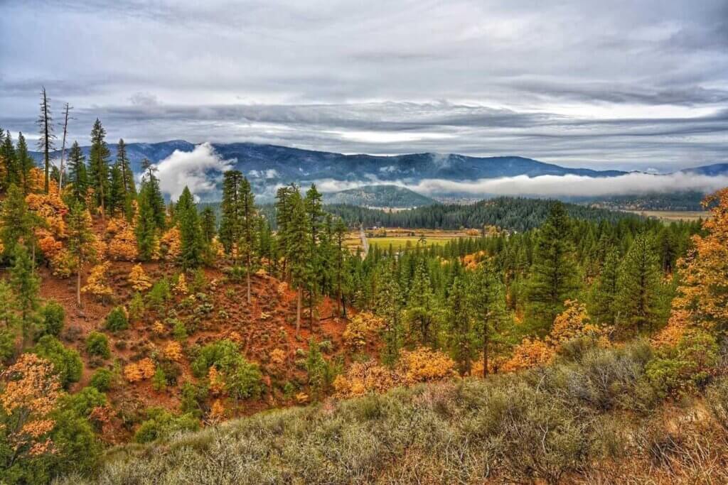
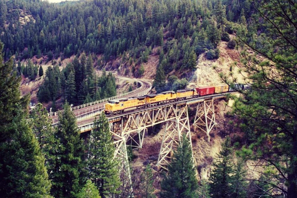
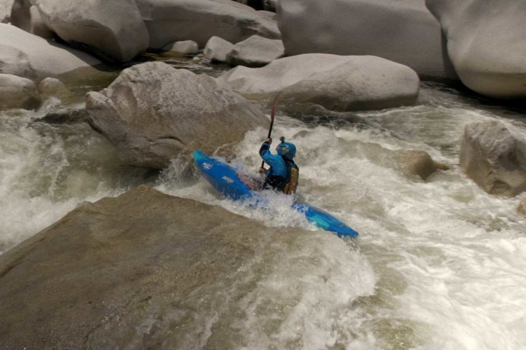
 This 130-mile route travels east-west across Butte, Plumas and Lassen Counties on State Highway 70, following the north and middle forks of the Feather River. Total estimated driving time is about 3.5 hours, one way. Few California highways feature such natural beauty and diversity in terrain, landscape, wildlife and elevation as this one. It also highlights mankind’s feats of hydroelectric power, railroad and highway construction along the steep, rugged canyon walls.
The drive is particularly stunning in the spring, when vibrant green surrounds nearly 100 waterfalls, and in the fall the steep mountainsides are ablaze with orange and red oak trees. The route can be taken in either direction. From the west, it starts eight miles north of Oroville on Highway 70, winds through the magnificent Feather River Canyon, connects with Highway 89 on through Quincy to Blairsden/Graeagle, resumes as Highway 70 through Portola, drops down onto the eastern slope of the Sierra Nevada and cuts through the fantastic expanse of the Sierra Valley, the western edge of the Great Basin.
- Oroville Lake and Dam at the Western Terminus of the Feather River Scenic Byway.
- Pulga Bridges – Two bridges crossing over each other one for highway traffic and one for trains, both crossing over the North Fork Feather River. The steel arch highway bridge, carrying State Route 70, crosses over the railroad bridge.
- Three separate rock tunnels blasted through solid granite, know as, Arch Rock, Elphant Butte and Grizzly Dome.
- PG&E Rest area across from Belden, has historical displays and information of the area. Can be used to access the PCT. Beldon has restaurant and supplies.
- Rich Bar, known as on of the richest gold producers on the Feather River Watershed.
- Steel Bridges of Tobin are another set of bridges which cross over each other and are favorites of both those interested in bridgepixing and railfanning.
- Feather River Hot Springs reservations required at least 24 hours in advance.
- Keddie Wye, one of a kind train trestle over the Feather River built in a distnictive Y-shape.
- Plumas County Courthouse completed in 1921 and still in active use today.
- Plumas County Museum is located on Jackson Street behine the courthouse.
- Western Pacific Train Museum located in Portola.
- Hallaujah Junction the eastern terminus of the Feather River Scenic Byway.