Overview
The Pacific Crest Trail (PCT) offers an incredible opportunity to experience California’s wilderness, particularly the enchanting segment from Belden to Burney Falls. Hikers are rewarded with majestic views, diverse ecosystems, and the calming sounds of nature.
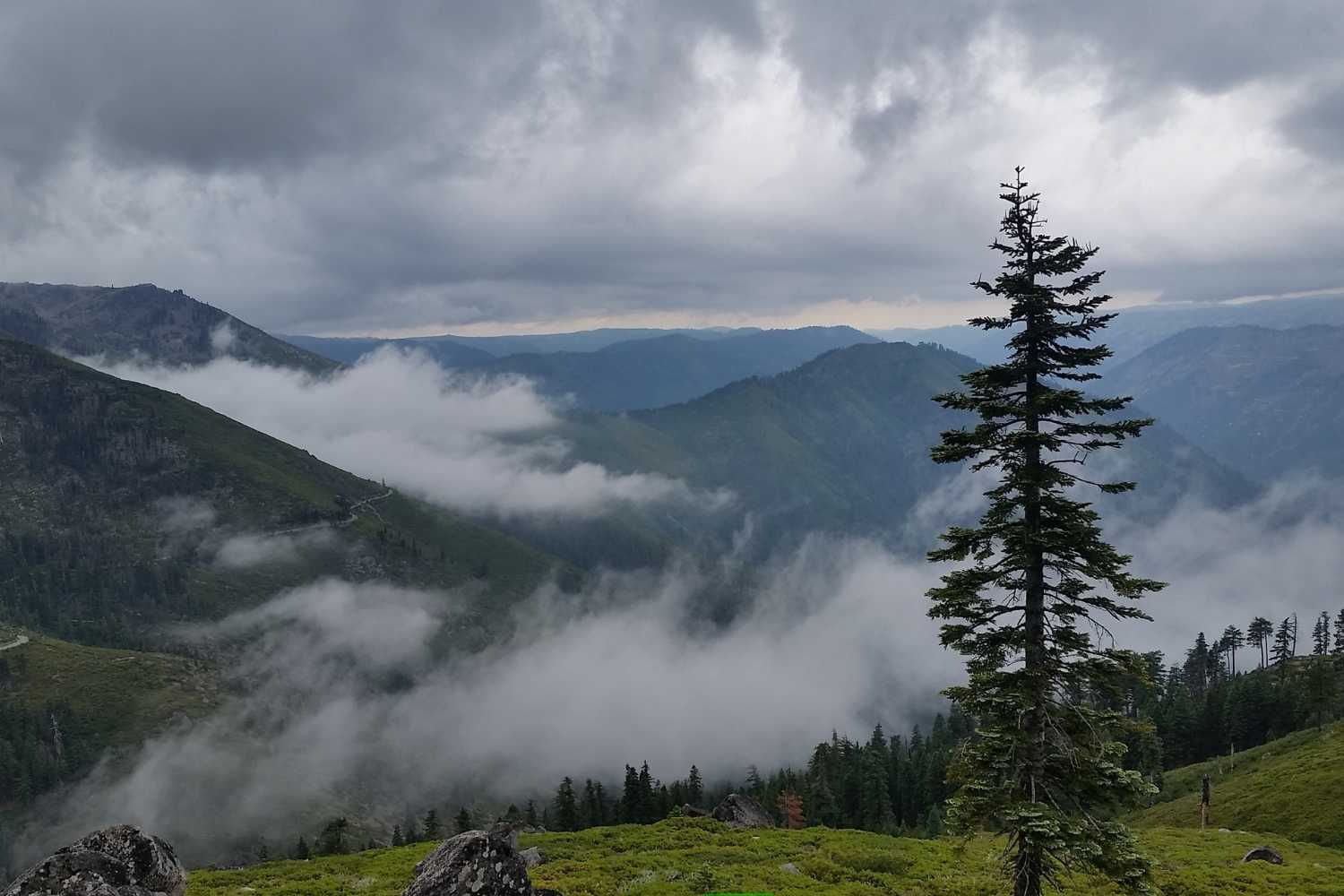
Much of this section of the trail between Belden and Old Station was devastated in the 2021 Dixie Fire. As of 2025, you will still see a stark landscape and limited shade through much of this section of the PCT. It is encouraging to see the new growth taking hold and still be rewarded with great views of Lassen Peak and Mount Shasta from different vantage points.
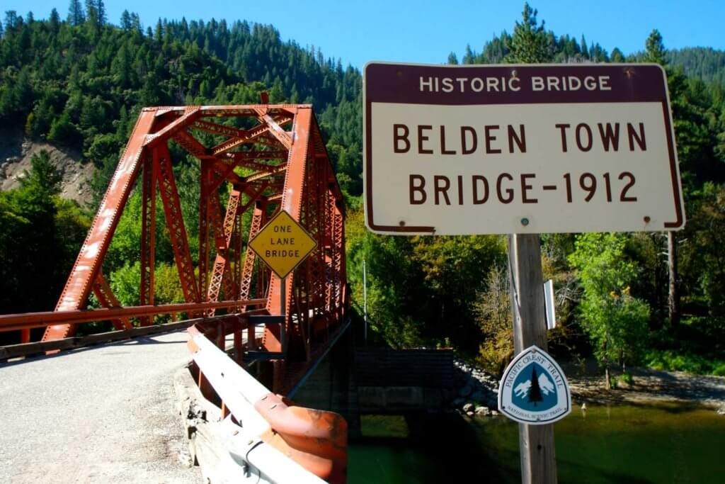
The segment of the Pacific Crest Trail from Belden to Burney Falls spans approximately 130 miles, offering an extraordinary journey through diverse terrains and ecosystems. Starting in Belden, a small town nestled in the Northern Sierra Nevada, hikers are immediately greeted by the tranquil beauty of the Feather River. The trail then meanders through dense forests, climbs steep ridges, and crosses open meadows, providing a continuously changing landscape that keeps the adventure fresh and engaging.
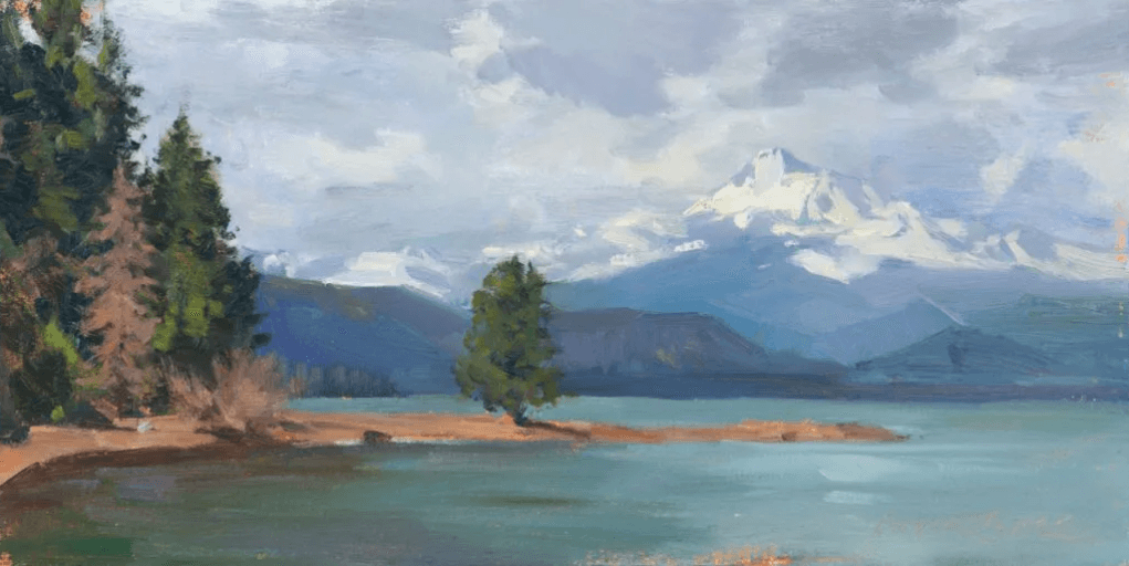
As hikers progress northward, the scenery transitions from the lush, green forests of the Sierra Nevada to the dry, rugged landscapes of the Cascades. This segment is renowned for its various natural features, including volcanic formations, pristine lakes, and panoramic mountain views. The journey culminates at the iconic Burney Falls, a stunning 129-foot waterfall that cascades into a clear pool, providing a perfect endpoint for this section of the PCT.
Trail Highlights & Points of interest near the PCT
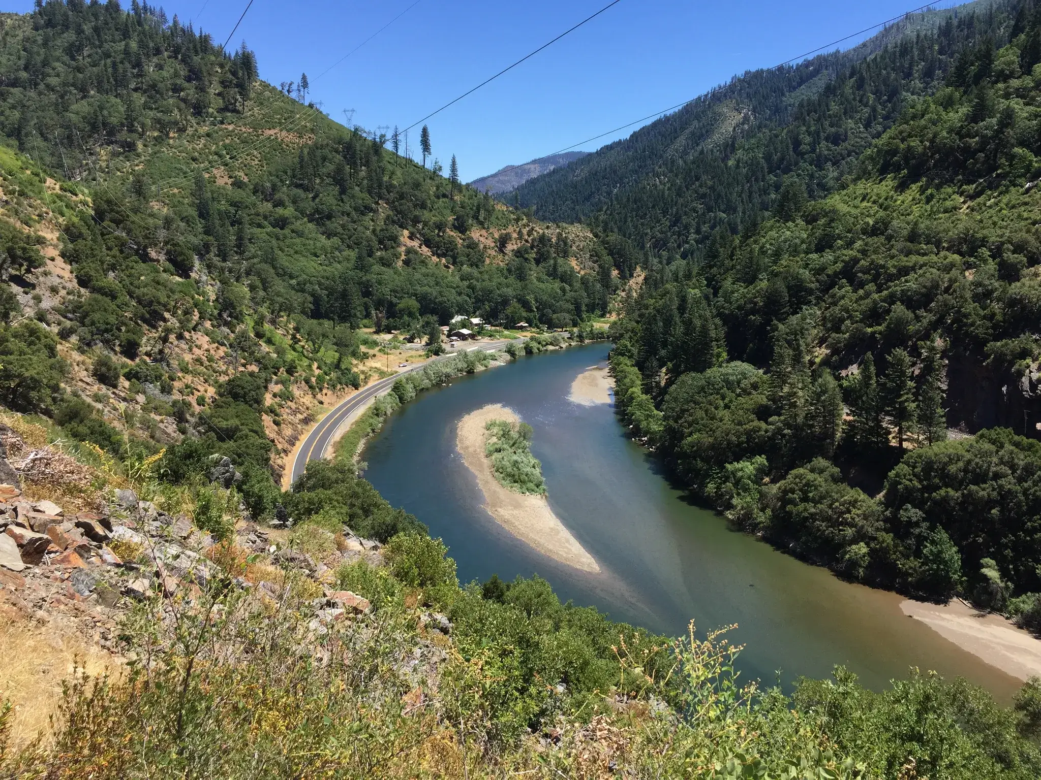
At the beginning of this section of the PCT, the Feather River is one of the key highlights of the Belden to Burney Falls segment. With its clear waters and lush surroundings, this serene river provides a picturesque start to the journey. Depending on the time of the year, you are hiking, a dip in the river before tackling the climb out of Belden. Many PCT hikers consider this one of the steepest parts of the PCT.
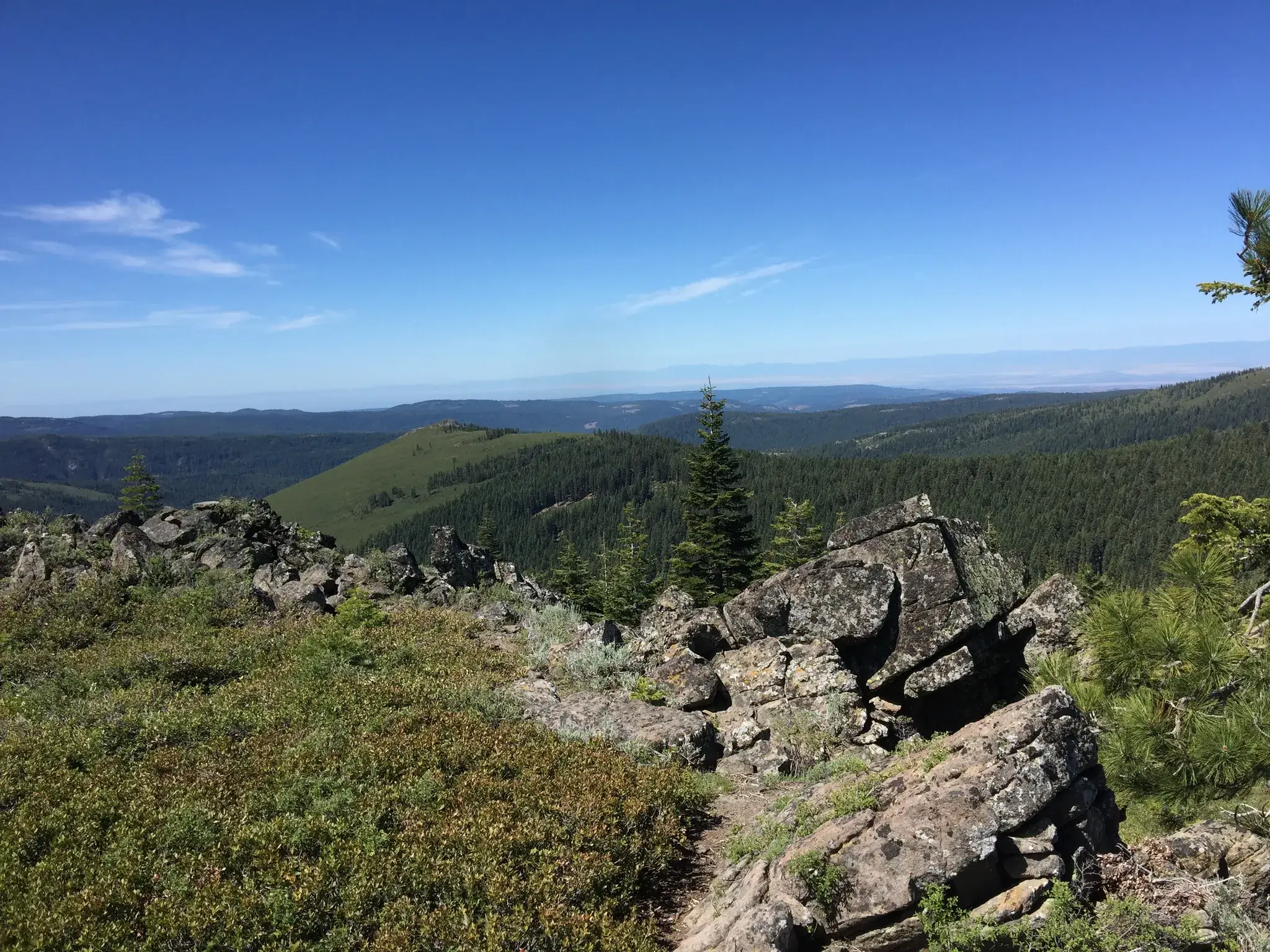
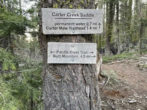
Carter or Butt Mountain will be the highest elevation on this section of the PCT at 7,602 feet with 360- degree views. From here, you are almost to the midpoint of the PCT between Mexico and Canada.
The local Maidu Indians call Domingo Springs the “center of the universe.” It offers fresh, cold spring water and a campground about half a mile from the PCT. Many PCT hikers camp here. A little over 11 miles of the PCT go through Lassen Volcanic National Park. As a reminder, dogs are not allowed on the trail through the National Park, and bear canisters are required if camping in the National Park.
Boiling Springs Lake
Drakesbad/Warner Valley Campground
Spattercone
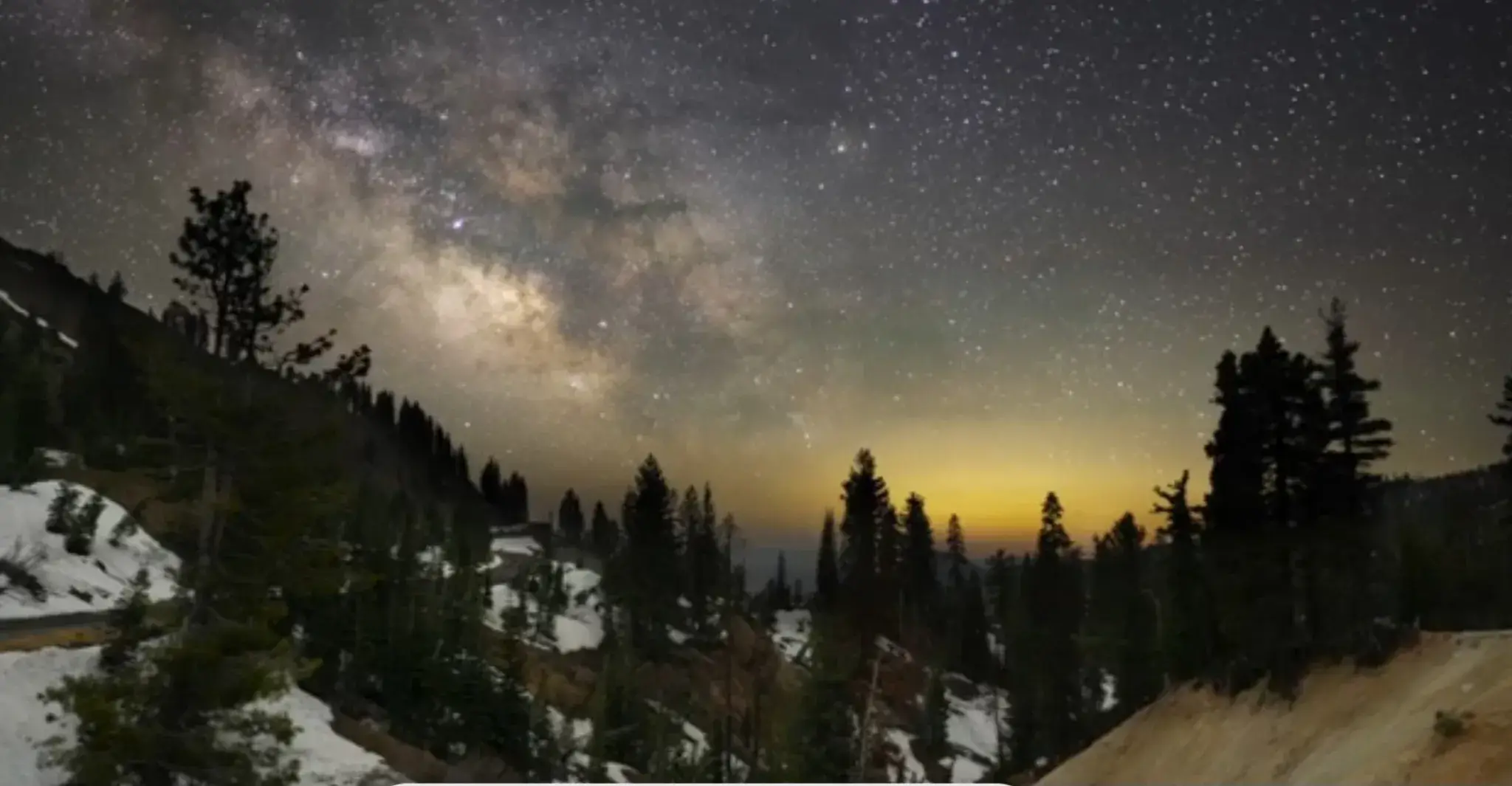
Hat Creek Rim is a volcanic plateau that offers some of the most spectacular views along this segment of the PCT. The rim provides panoramic vistas of the surrounding landscapes, including the distant peaks of Mount Shasta and Lassen Peak. This area is known for its dramatic sunsets, so consider planning a campsite nearby to enjoy the evening views.
Subway Caves for those interested in geology, the Subway Cave Lava Tubes near Old Station are a fascinating detour. These lava tubes were formed by ancient volcanic activity, providing a unique opportunity to explore underground passageways. The cave stays cool year-round, making it a refreshing stop on a hot day. Be sure to bring a flashlight or headlamp, as the cave is completely dark inside.
Of course, no journey along this segment of the PCT would be complete without visiting Burney Falls at the end of this section of the PCT. Known as one of the most beautiful waterfalls in California, Burney Falls is a sight to behold with its 129-foot drop and lush, green surroundings. The falls are fed by underground springs, ensuring a consistent water flow year-round. The mist from the falls creates a cool, refreshing atmosphere, providing a perfect end to a challenging hike. The store at Burney Falls is known for great soft ice cream.