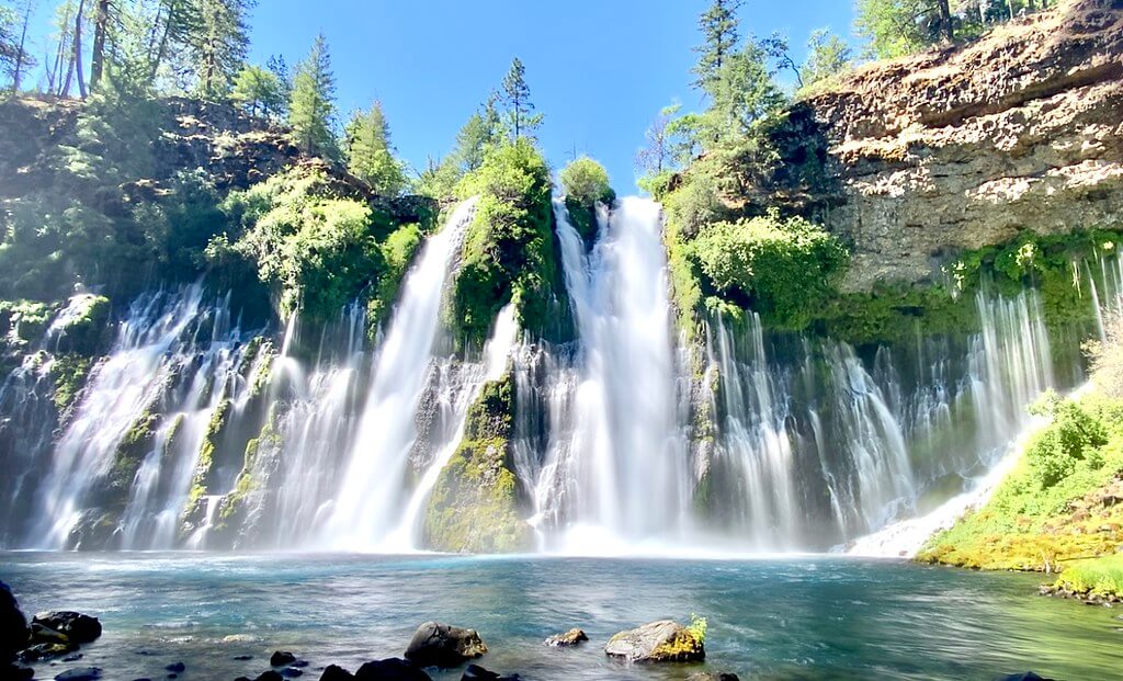
Highway 70 in the Feather River Canyon is designated as a Scenic Byway for good reason. The North Fork Feather River dramatically cuts through the Sierra crest with nearly a mile-deep canyon spanning from Bald Eagle Peak at 7,183’ to Tobin at 1,992’. The river is full of huge granite boulders and waterfalls cascade around every corner. History runs deep, from Maidu homelands to the Gold Rush, to the railroads, resorts, hydropower, and the State Water Project.
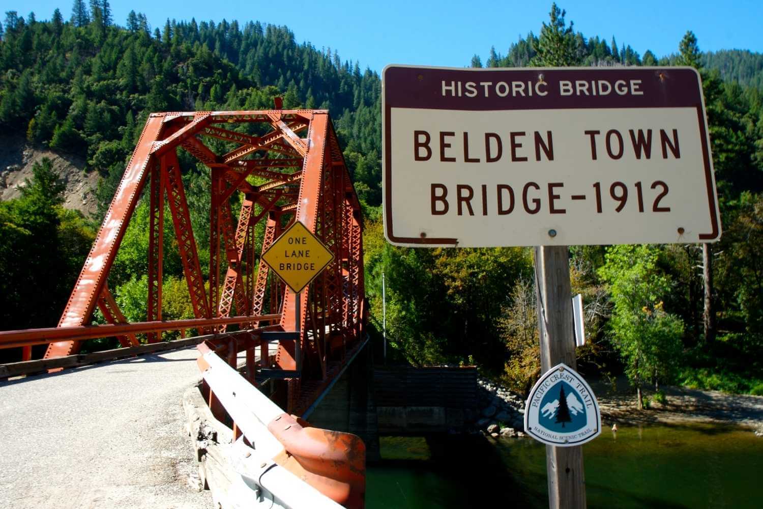 Belden Historic Bridge
 Large fires of the 21st century have dramatically altered the Canyon yet its rugged beauty remains. The 2021 Dixie Fire impacted all recreation facilities within the North Fork Canyon. Restoration of campgrounds, roads, and trails is a top priority. To ensure a quality experience, inquire about the condition of recreation facilities before you start your adventure.
Many travelers are driving fast through the canyon and there is often lots of truck traffic. If you are looking to take your time and enjoy the spectacular scenery, use pull-outs and caution to allow other vehicles to get around you.
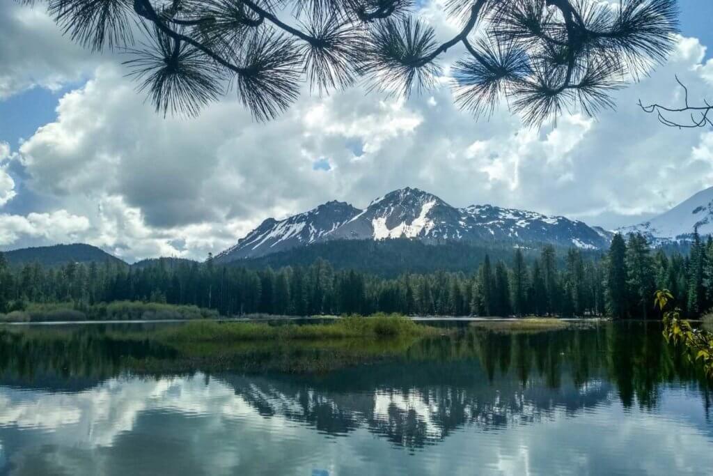
 Reflections on the Feather River
Photo by Thomas O’Keefe
 Rafting in the North Fork Feather River
 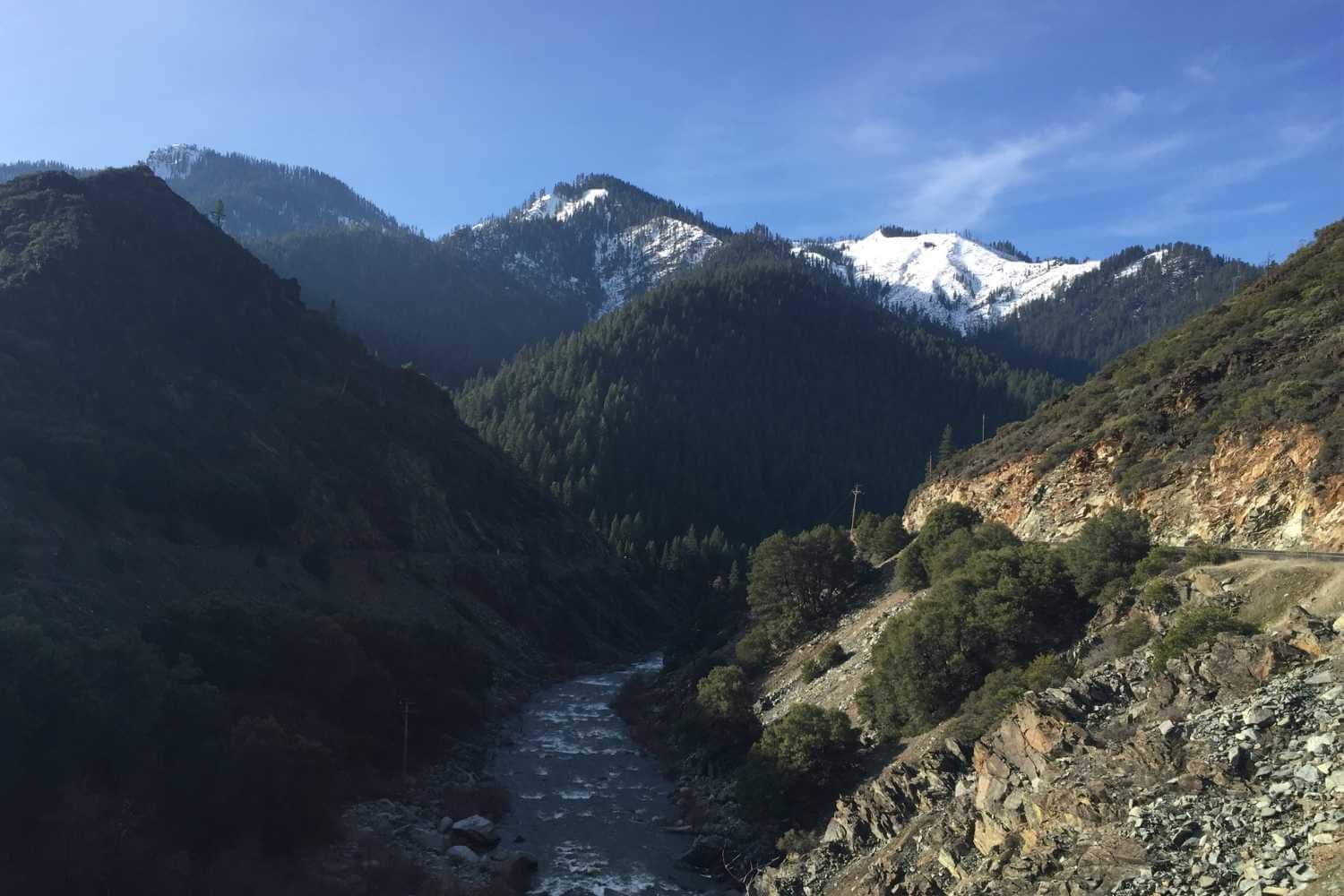 The Feather River Canyon near Rich Bar
 Swimming and Paddling the North Fork
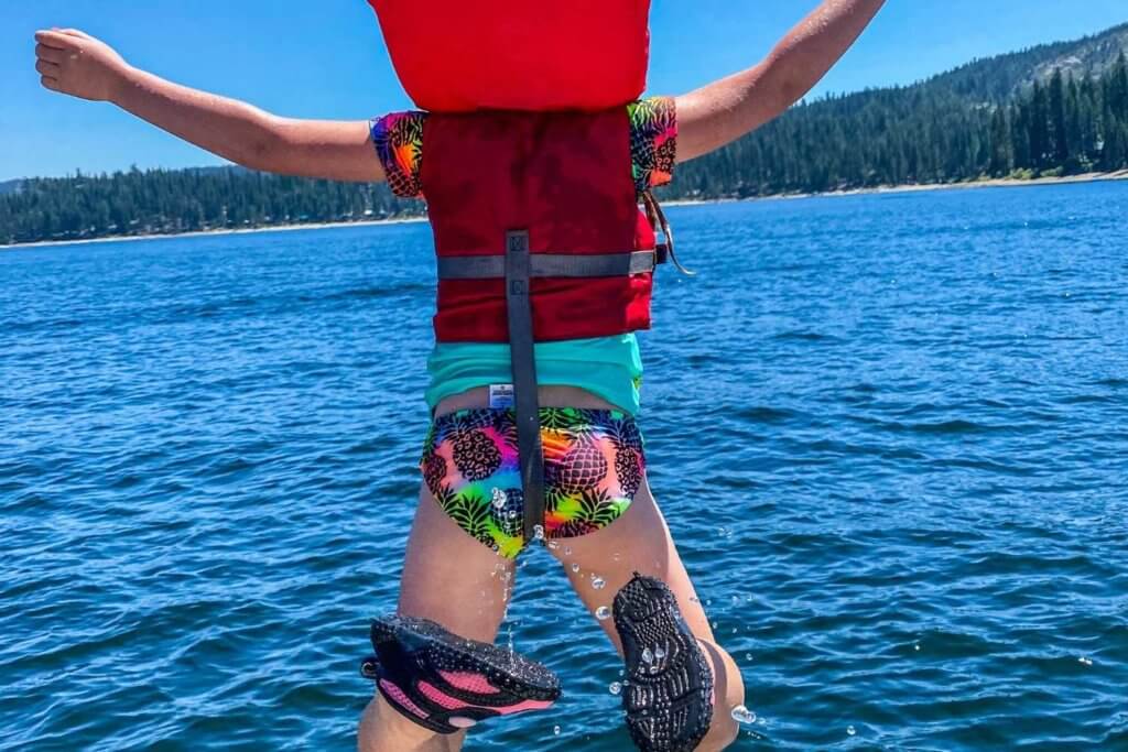
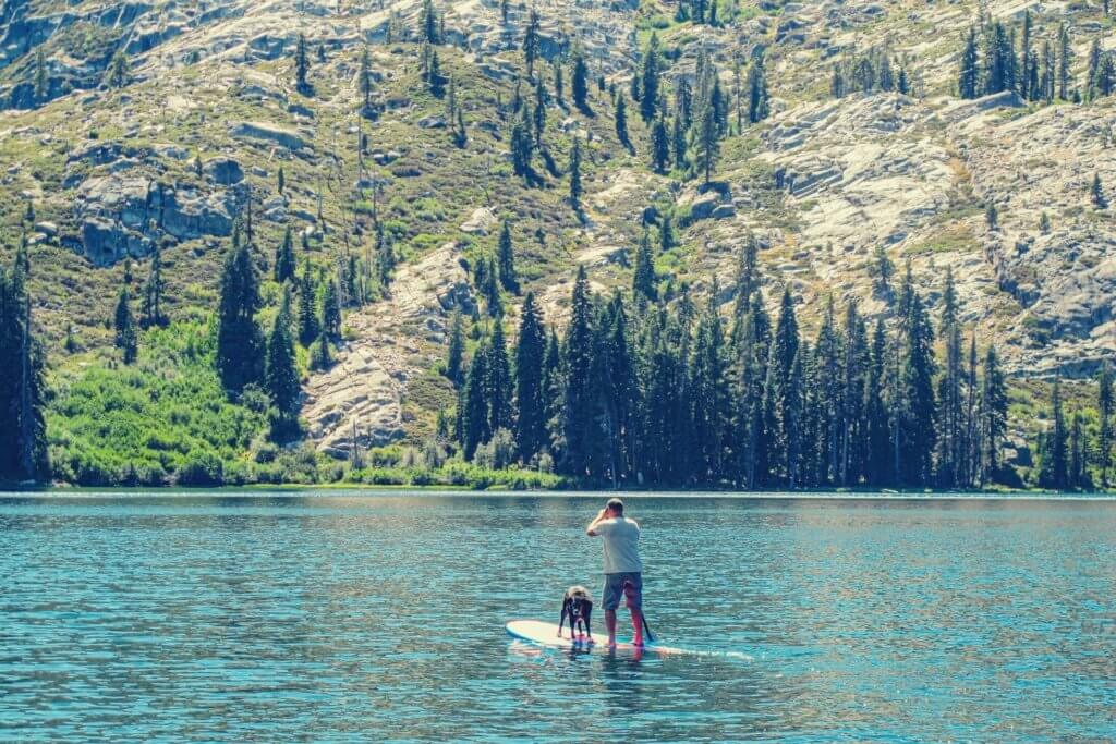
Swimming and kayaking is wonderful and dangerous in the North Fork Canyon. Visit our kayaking and rafting page to learn more, and always use caution. Better safe than sorry!
Hiking the Canyon
The North Fork Canyon has several hiking trails, however most are steep with challenging climbs. Be prepared for rugged terrain, exposure, and beautiful views. Because much of the canyon is lower elevation than other parts of the county, these are good places to hike during fall and early spring. Hiking hazards include downed and falling trees, rockslides, ticks, and poison oak.
- The Pacific Crest Trail traverses the North Fork Feather River Canyon, dropping down from the Bucks Lake Wilderness and climbing back up at Chips Creek to the north.
- The challenging 4.8-mile Ben Lomond Trail climbs over 4,000 feet from the North Fork Feather River to 6,453’ Ben Lomond. For a shorter hike, climb to Paul’s Point (3,854′) for an amazing view.
- South-facing Chambers Creek Trail climbs up on the north side of the canyon.
- North-facing Tobin Trail climbs up the south side of the canyon and crosses a couple of beautiful creeks in steep drainages.
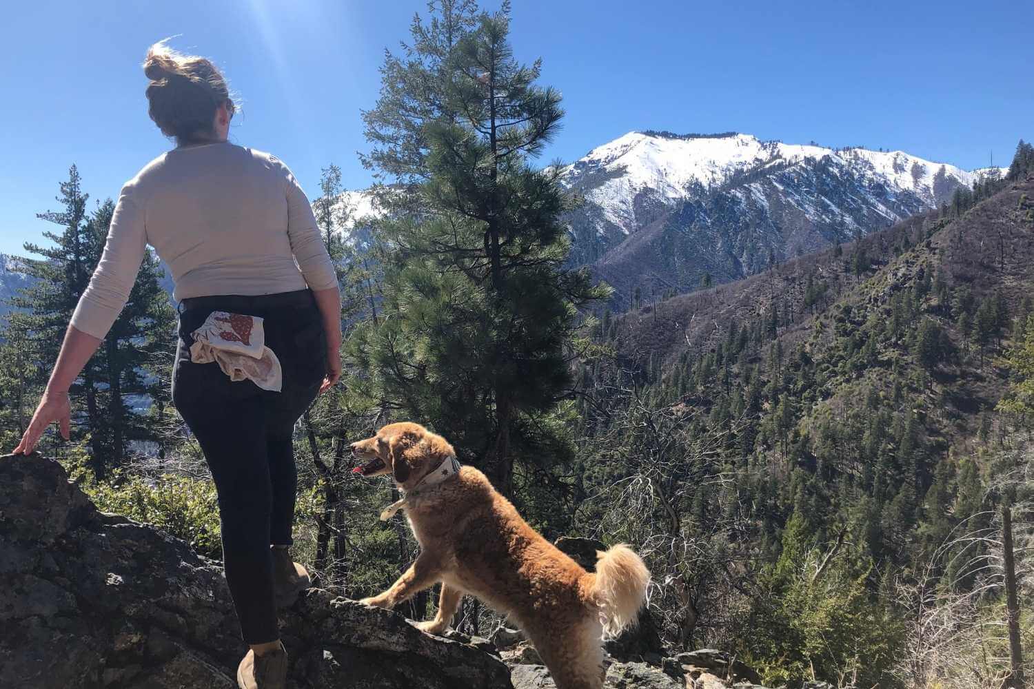 Views of Ben Lomand Peak near Belden
Photo by FRC Outdoor Rec Leadership
 The Tobin Trail trailhead
 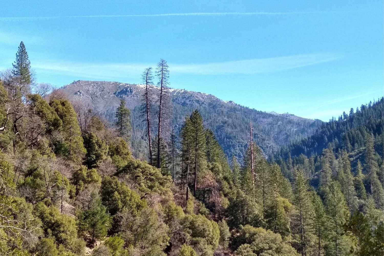 Views looking west from the Tobin Trail
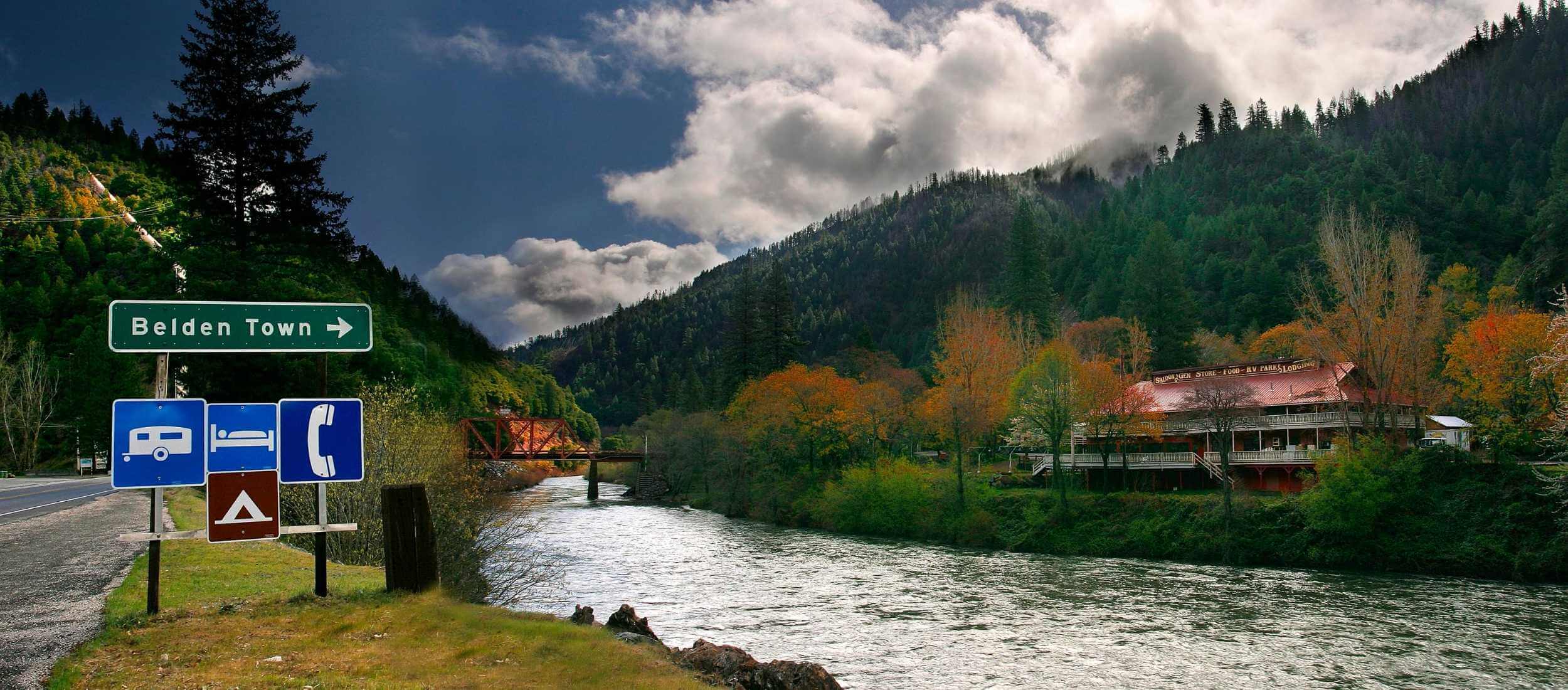
 Belden and Caribou Crossroads
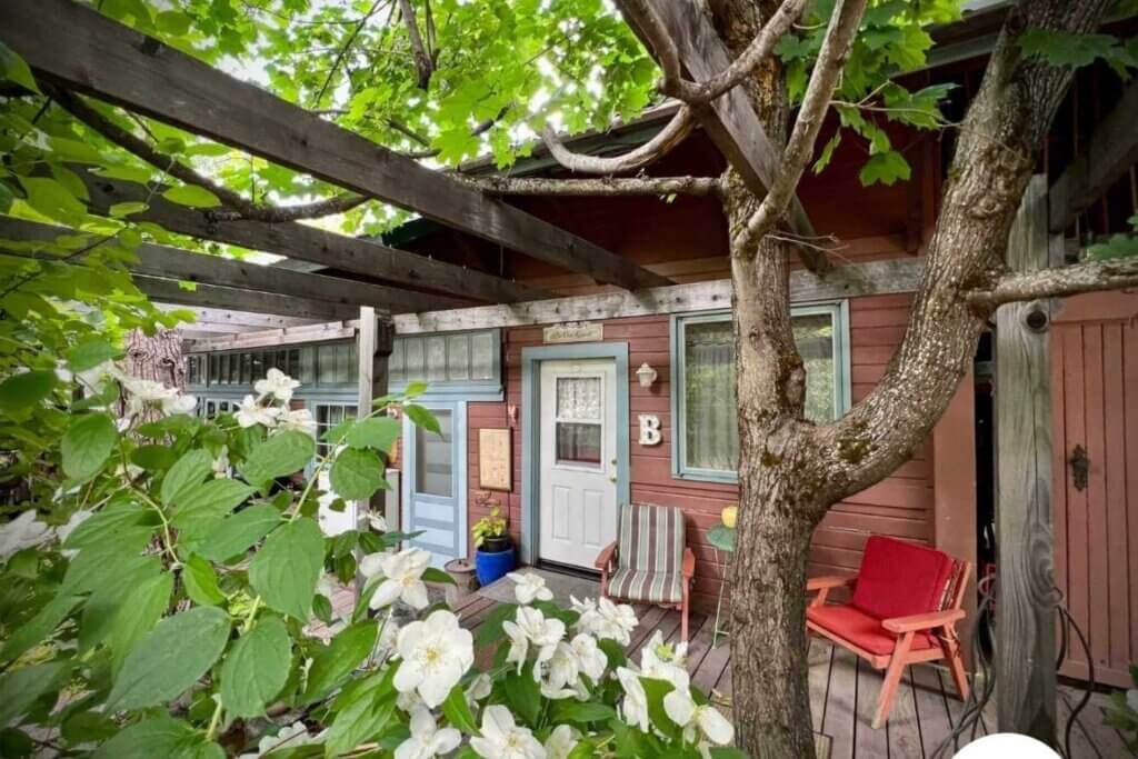
Located in the heart of Feather River Canyon, just 28 miles west of Quincy, the historic town of Belden is a vintage gem for the intrepid traveler. The PCT crosses at Belden, a great place to get a burger, enjoy the river, spend the night, and mail a postcard from the Belden Post Office.
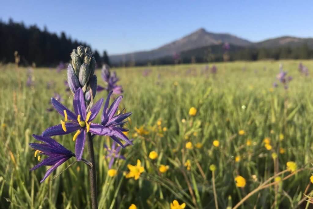
Caribou Crossroads is a hub of activity where you can get a bite to eat at the Caribou Cafe & Store, overnight at the campground or in a cabin, go fishing, and enjoy spectacular wildflowers on rugged canyon walls.
Railroad Fans
Plumas County is rich in train history and is renowned for its unique railroad engineering along the Feather River. Magnificent bridges, tunnels, and the Keddie Wye make the journey through the Feather River Canyon jaw-dropping. Railroad enthusiasts can learn more here.
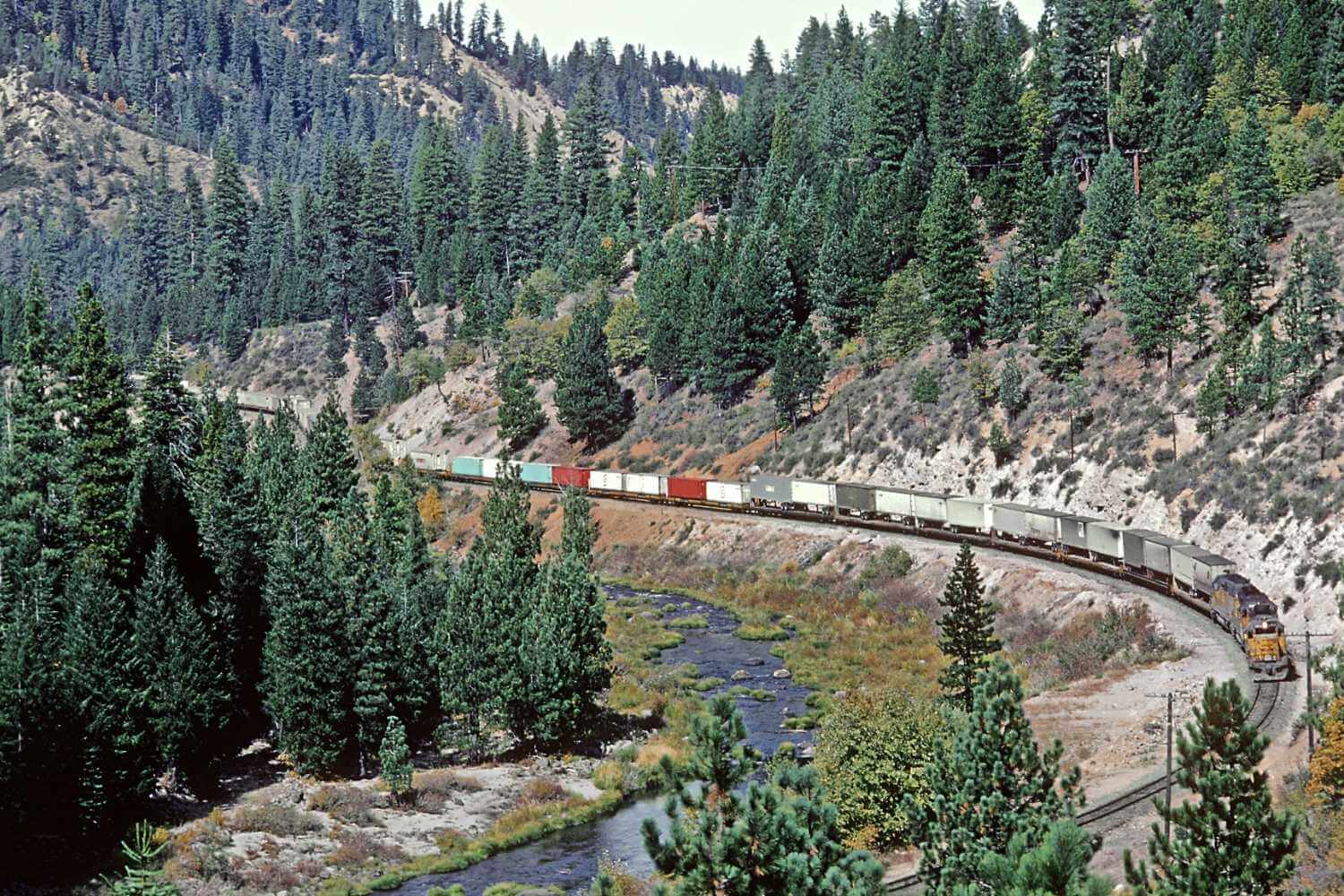 Meandering train in the Feather River Canyon
  The Tobin Bridge on the North Fork Feather River
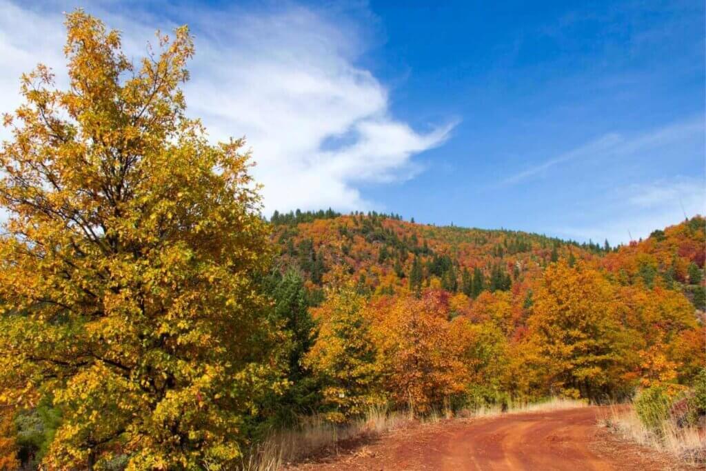
 Roadside Geology and Botany
In the heart of the canyon, the California Native Plant Society proposed a Special Interest Area on Red Hill, the most extensive ultramafic terrane in the Northern Sierra! All those words mean that Red Hill has a lot of serpentine rock and the highest concentration of sensitive rare plants in the Plumas National Forest. The best place to look at a lot of serpentines is in Serpentine Canyon between Virgilia and Caribou. Learn more about the wildflowers of Plumas County.